

Oxford boundary markers: Barracks Lane East (1843?)
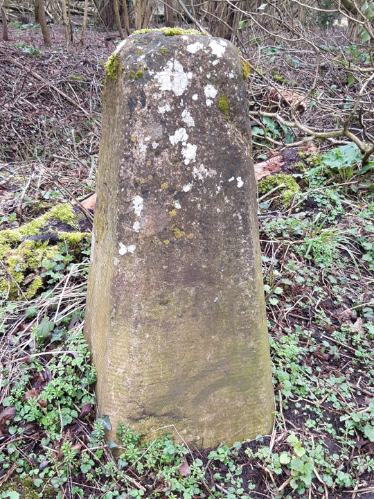
Inscription illegible
This stone is in Barracks Lane. It is not a listed structure.
There is also an Ordnance Survey benchmark on this stone, probably
added in c.1870 when the first proper survey was taken.
It marks a boundary between that marked by two other boundary stones in the area:
- Older stone further west in Barracks Lane
- Newer near Crescent Road on the lane leading down to Marsh Road,
beside the Boundary Brook
Back to list of Oxford
boundary stones
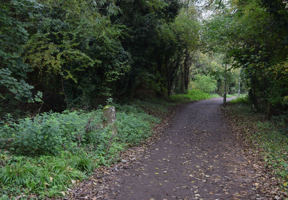
Below: The stone as it is today, looking east:
Below: The stone in 1914 (Historic England HT12336), looking west. It is described as having a benchmark, as the above stone still has today:
This appears to be the same stone in 1914 looking east (Historic England CC72/00720), but the position of the lane is hard to explain: