Oxford boundary markers: Cuckoo Lane north side (1837)

[City coat of arms showing
ox crossing ford]
C. J. S.
M A Y O R
This stone stands on the north side of Cuckoo Lane about thirty yards below the lower of the two paths that lead to John Garne Way
The stone is set too deeply into the ground obscuring the date (1837), but the initials “C.J.S.” show that the stone was set up during the 1836/7 mayoralty of Charles James Sadler.
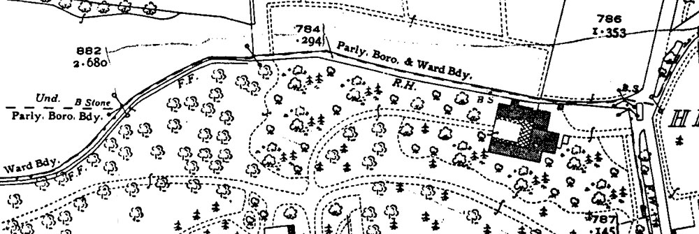
It marks the new parliamentary boundary of Oxford in 1832 (map), which survived until 1886.
Not a listed structure
Back to list of Oxford
boundary stones
Below: map of Cuckoo Lane in 1939, showing this stone towards the left marked “B Stone”